www.thecollector.com
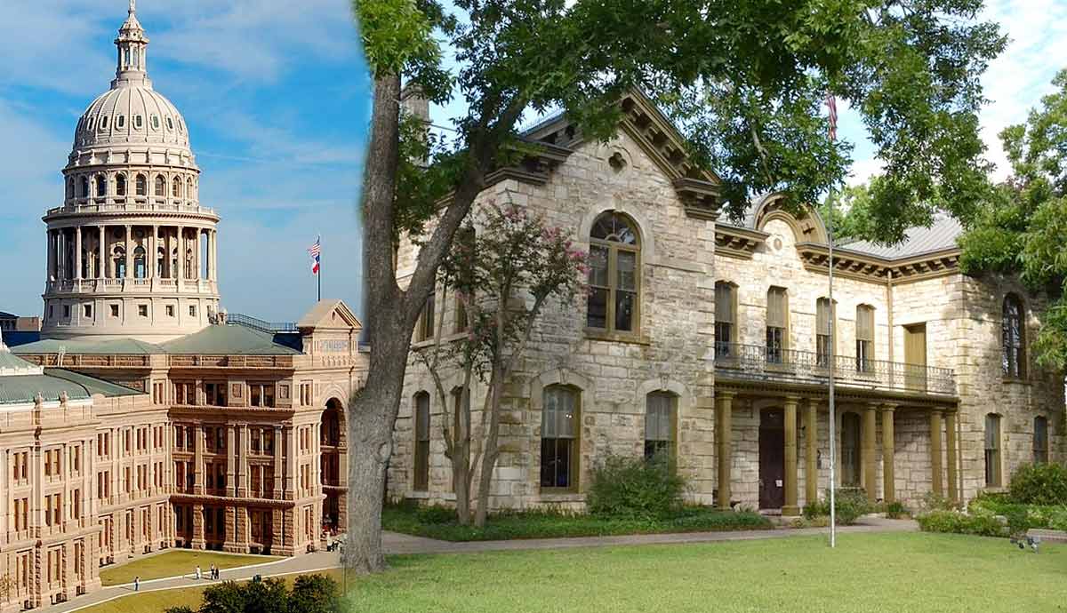
This Underrated, Historic Small Town Is a Great Alternative to Austin, Texas
Located about 80 miles west of Austin, Fredericksburg is an underrated Texas gem nestled in the heart of the Texas Hill Country. Famous for its German heritage, art galleries, rolling vineyards, and boutique shops, this small town is all about charm and sophistication. It offers everything from scenic hikes to history museums, making it an attractive destination for those seeking an alternative to Austin’s fast-paced lifestyle. While the latter may be known for its live music and nightlife, Fredericksburg captivates visitors with its historic architecture, serene atmosphere, and vibrant wine culture.
The Rich History of Fredericksburg Rivals the Big City Vibe of Austin
Sunday house in the Pioneer Museum, Fredericksburg, Texas. Source: Wikimedia Commons
While Austin has its contemporary cultural hotspots, Fredericksburg offers an entirely different historical narrative. This small Texas town was founded in 1846 by German immigrants and has preserved its old-world charm through well-maintained historical landmarks and museums. For instance, the Pioneer Museum takes visitors on a journey back to the 19th century with a collection of preserved buildings like a one-room schoolhouse, a Sunday House, and even a Blacksmith shop.
The most notable historical attraction in Fredericksburg is perhaps the National Museum of the Pacific War. This is a 55,000-square-foot museum that tells stories of the Pacific Theater of World War II. The museum commemorates the legacy of Admiral Chester W. Nimitz and the U.S. military’s efforts during World War II. When visiting the National Museum of the Pacific War, you can explore interactive exhibits, the Pacific Combat Zone, and the peaceful Japanese Garden of Peace. The latter serves as a tribute to the friendship between Nimitz and Japanese Admiral Togo.
When it comes to Austin, its modern history is mostly focused on its music scene and tech industry. If you head instead to Fredericksburg, you’ll have the chance to see and learn more about German culture and American military history. You wouldn’t usually see these in the capital city.
The Town Is Famous for its Authentic German Heritage
Old buildings on Main Street Fredericksburg, Texas. Source: Picryl
The authentic German roots of Fredericksburg give this Texan small town a unique European flair that sets it apart from the rest of the Lone Star State. For instance, the Main Street of Fredericksburg is lined with classic German architecture, specialty shops, and local restaurants. The latter serve traditional fare like schnitzel, bratwurst, and sauerbraten. Popular spots you have to visit in town for a traditional culinary experience include the fine dining establishment Otto’s German Bistro and the iconic Old German Bakery & Restaurant, known for its hearty breakfasts and German pancakes.
If you want to get a taste of Fredericksburg’s German heritage during a celebration, then you’ve got to attend the annual Oktoberfest. It’s a lively festival featuring dancing, polka music, traditional German food, and, of course, lots of beer. The three-day celebration attracts thousands of visitors each fall. It is one of the town’s signature celebrations.
Global cuisines and modern eateries are a thing in Austin. But Fredericksburg will provide you with a more focused cultural experience that celebrates its German roots. Hence, if you want a taste of Europe in the Lone Star State, then Fredericksburg should be next on your list.
Monthly Art Walks and Iconic Local Galleries in Fredericksburg
National Museum of the Pacific War, Fredericksburg, Texas. Source: Flickr
Let’s admit it: Fredericksburg does not have the same reputation as Austin when it comes to its arts scene. Still, the small historic town in Texas offers a vibrant cultural experience in its own right. For example, Fredericksburg is home to plenty of top-tier galleries. These include the Insight Gallery and the Charles Beckendorf Gallery. Both of these showcase a diverse range of regional and local artwork.
One of the biggest draws of Fredericksburg is the First Friday Art Walk. This is a monthly event where visitors can meet artists, enjoy local wine tastings, and watch live demos at multiple galleries along Main Street.
If you’re a film enthusiast, then the Hill Country Film Festival is an annual highlight. It features screenings, panel discussions, and events in a more intimate setting compared to larger city festivals.
If you’re looking for something different than the high-energy arts district that Austin is known for, then you should consider Fredericksburg. For instance, the art scene in this town is much quieter and provides you with a more personal experience. The focus is more on local talent, and there are much fewer crowds when compared to Austin. This makes Fredericksburg the perfect spot for art lovers who want to explore unique Texas-inspired art while engaging directly with local artists.
Fredericksburg Is a Wine Lover’s Paradise
Becker vineyard lavender field in Fredericksburg, Texas. Source: Flickr
The town has rightfully earned its reputation as the “Napa Valley of Texas” with its thriving wine industry. Fredericksburg is home to over 50 wineries and tasting rooms. Many of these are nestled along the famed Wine Road 290. Some of the standout options include Grape Creek Vineyards, known for its award-winning reds, and Signor Vineyards, offering picturesque French-style tasting rooms.
You might enjoy visiting Rhinory, where you can sample South African-inspired wines while observing a real-life rhinoceros named Blake. This will allow you to combine wildlife conservation and winemaking, which is somehow a one-of-a-kind experience.
If you’re looking to make the most of your wine exploration, book a seat on the 290 Wine Shuttle. The latter provides safe, convenient transportation between some of the most renowned vineyards in the region.
In Austin, you’ll enjoy breweries and craft beer. The culture of these thrives in the city. However, Austin lacks the immersive vineyard experience that you will find in Fredericksburg. So, if you’re a wine enthusiast and you’re looking for a more refined, scenic environment, then the sprawling vineyards of Fredericksburg are the answer. Go to this iconic Texan town and enjoy a peaceful day of tastings without the crowds and Austin’s fast pace.
Texas’ Fredericksburg Is an Outdoor Enthusiast’s Dream
Wildseed Farms in Fredericksburg, Texas. Source: Flickr
Anyone seeking an outdoor adventure will definitely appreciate Fredericksburg’s natural beauty. The Enchanted Rock State Park is the highlight of the town, and it’s located just 17 miles north of Fredericksburg. It consists of a massive pink granite dome that provides panoramic views of the Hill Country. It’s a popular destination for rock climbing, stargazing, and hiking.
The Wildseed Farms, the largest working wildflower farm in the United States, is another must-see. Here, you can stroll through 200 acres of blooming flowers, snap some unforgettable shots, and shop for locally made products.
If you’re looking for even more outdoor activities, the nearby Pedernales Falls State Park offers you serene hiking trails along the Pedernales River. It’s a peaceful retreat just a short drive from Fredericksburg.
It’s true that Austin is famous for its popular parks and trails. No one’s denying that. However, the natural attractions of Fredericksburg are actually more expansive and less crowded. Thus, they provide a quiet and scenic experience that connects visitors to the unique beauty of Texas Hill Country.
Fredericksburg’s Seasonal Festivities and Holiday Traditions
Trail of Lights in Austin, Texas. Source: Wikimedia Commons
You don’t want to miss Fredericksburg during the holiday season. This is when the town transforms into a festive wonderland filled with events and traditions that embody its German heritage. One standout is the Fredericksburg Christmas Pyramid. The latter is a 26-foot-tall wooden structure that was imported from Germany. It symbolizes Fredericksburg’s commitment to preserving its roots.
There’s also Kinderfest, where children leave their shoes out for Santa to fill with traditional German treats. As for the Holiday Wine Trail, it allows you to tour the best local wineries decorated for the season.
The town also hosts the annual Eisbahn. This is a volunteer-run-ice-skating rink that opens after Thanksgiving and runs through New Year’s. Families from all across Texas flock to the rink, with profits supporting local charities such as the Boys & Girls Club and the Lifeline Foundation.
All of these traditions combined together create a cozy, small-town atmosphere that is so different that it actually feels a world apart from the bustling holiday events in Austin.
The capital of Texas, Austin, on the other hand, hosts a lively array of holiday events, such as the Trail of Lights and the Armadillo Christmas Bazaar. But the holiday season in Fredericksburg offers a more intimate and culturally rich experience. The small-town community spirit and German traditions of Fredericksburg combined together provide a heartwarming alternative for those seeking a holiday experience that’s authentic, family-friendly, and less commercialized.
Though a Small Town, Fredericksburg Boasts Big-Town Entertainment
Jam session in Luckenbach, Texas. Source: Picryl
Fredericksburg is small in size. However, if you’re a party lover, then this is the place to be for an exciting night. The town is famous for its dance halls, live music, and unique venues like Luckenbach, a ghost town turned honky-tonk just 14 miles away. Country music icons such as Willie Nelson were hosted at this legendary spot. Luckenbach continues to be a favorite for live music and dancing. Within Fredericksburg, you can also find popular bars such as the Altstadt Brewery and 78624 The Bar, which offer live music and local brews in a lively atmosphere.
Now, you probably already know that Austin is the “Live Music Capital of the World.” And that’s true. However, Texas’ capital’s high-energy venues can sometimes be overwhelming. This is why Fredericksburg might be a better fit for you, as its smaller, more intimate settings offer a different take on the music culture of Texas. So, if you enjoy live performances in a more laid-back, welcoming environment, you know now where to go in Texas.